I can’t wait to visit Dove Ranch next spring. I already have tons of work I want to do, and every weekend that I have an extra eight hours, I wish I could go up there. However, Dove Creek Road that runs through my ranch is unmaintained even though it is a county road. That means there is zero snow removal. Also, it means there are plenty of places you can get a vehicle stuck for months on end in the winter without anyone coming by to give you any help. Still, I just can’t wait to get up there when the snow melts, and the road dries enough to be passable.
My dilemma, … I have to drive a six-hour round trip in the spring just to find out if the snow has melted enough that I can get to my ranch. I’m a pretty busy guy between working on my fiction blog, my shogi app, and my writing app (Note: I’ve retired the writing app.) Oh yeah, and don’t forget 40+ hours per week on that pesky day job. Six hours for a wasted trip to find out Dove Creek Road is still unpassable is not my idea of a great Saturday outing.

Spring snow melt isn’t the only time snow is an issue. In the autumn, I base my last trip to Dove Ranch by whether the snow has come down to 5000 feet in Rosette, Utah. But, I can’t know about the snow in and around Rosette without doing the six-hour round trip drive. I don’t know anyone in the area that I can call up and ask for snow totals and weather updates.
Not knowing snow totals and snow pack status is partly why I lost so many of my pinyons last winter. I didn’t know that the ground was bone-dry up at the ranch in November and January. My seedlings died of thirst during the winter that should have had snow covering the ground. If I had known about the lack of snow on the ground, I could have popped up there and given the seedlings some water to hold them over until the next winter storm. But I didn’t know, because I can’t afford six hours if I’m just turning around and coming home without doing anything useful.
One option I thought up was to buy a trail cam that interfaces with cell phone services. My cell carrier doesn’t have connectivity up in Rosette, but one of the bigger carriers does provide service way out there. I have been considering changing to the cell service provider that works up near Rosette, Utah, just so I can set up a webcam on Dove Ranch to allow me to check up on the weather conditions.

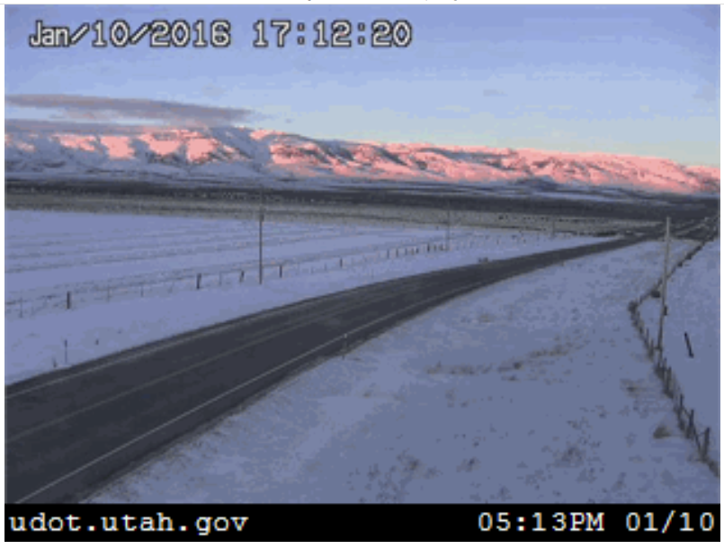
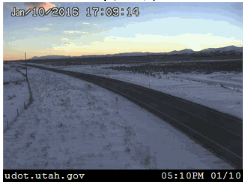
I recently found the solution to my problem. Luckily, I didn’t have to go to drastic measures like buying an expensive trail cam or switching cell phone providers.I found a web site that lists tons of public webcams around the western United States. And as it turns out, one of the Utah Department of Transportation (UDOT) webcams is literally less than a mile from Dove Creek Road.
The chances of a public webcam being so close to my ranch are incredibly small. The next closest camera was over fifteen miles away. The actual entrance to Dove Creek Road might actually be less than half a mile from the camera. The camera is that close. The camera literally points at the entrance of Dove Creek Road, even though it is a bit too far to see the entrance. I couldn’t have asked for a better setup.
The webcam site is www.wrh.noaa.gov, in case you want to use it for any of your road trips. It’s turned out to be handy for checking road conditions when I’m doing family vacations near Bear Lake, too. The only catch is that you have to check many of the remote cameras during daylight hours, because there aren’t any streetlights to light up the camera shots at night.

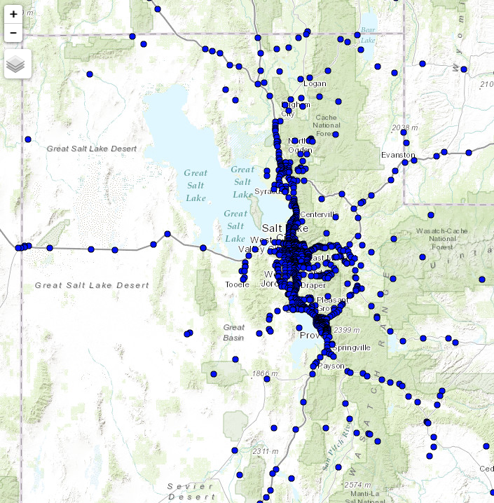
The site has blue dots showing the position of webcams. All you need to do is mouse over a blue dot to see the latest picture broadcast by the local webcams. Clicking on a blue dot pops up a new window that shows the latest pick from the webcam.
